Get closer to your environment, assets, and business

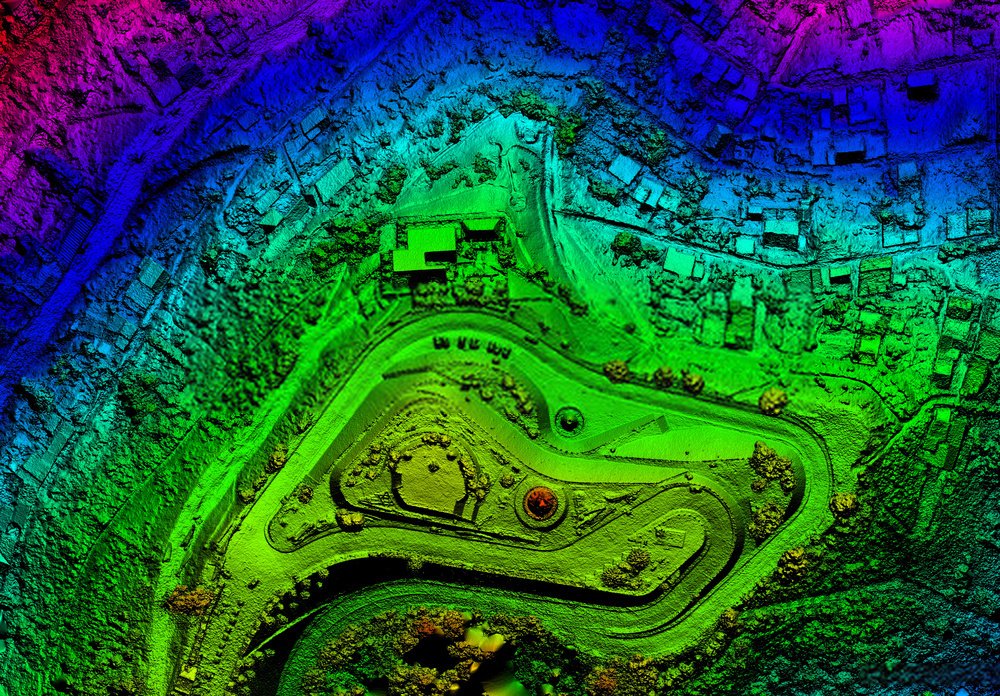
Replete allows energy utilities to quickly and efficiently create 3D digital models using the cloud-based technology of their entire network. These models are automatically generated from company data such as GIS, DXF, and LiDAR.

Replete’s 3D models, which are based on intelligent physics and engineering algorithms and can be edited and customized to fit the physical asset.

Replete can perform complex calculations such as finite element analysis. These calculations can be used to address a wide range of design and asset management needs, including accounting for weather, terrain, wind, temperature, and other environmental factors. This allows teams to analyze network modifications and changes before attempting to work on physical assets.

WHAT WE DO
Analysis of network-wide scenarios for asset management, operations, and planning.

  • Replete Analytics is a customizable, network-wide analytics and reporting platform.
  • Autogenerate a digital network twin by ingesting data such as GIS, LiDAR imagery, maps, tables, and records.
  • You can conduct an extensive analysis of your grid using simulations, scenario impact analysis, and solution experimentation. This will allow you to make data-driven decisions based upon in-depth analysis.

An end-to-end solution for point-cloud data, all on one intelligent platform.
Replete Point Cloud Solution is purpose-built for utilities to simplify and streamline all stages of geospatial data processing.

  • Eliminate siloed systems – an all-in-one solution to host, process, classify, visualize and analyze your point cloud data.
  • Dramatically accelerates and simplifies LiDAR classification and feature extraction, delivering outputs up to 30x faster than industry software.
  • Expand your capabilities with powerful engineering and physics-based analysis at scale.

Capabilities

Replete can perform complex calculations such as finite element analysis. These calculations can be used to address a wide range of design and asset management needs, including accounting for weather, terrain, wind, temperature, and other environmental factors. This allows teams to analyze network modifications and changes before attempting to work on physical assets.

GIS STRATEGIC ACTION PLAN

GIS assessment, evaluation, and GIS strategic plan for your organization. Governance brainstorming and capacity building

FIELD DATA COLLECT

Participatory mapping is a way to collect spatial data that your GIS requires. Check our analysis.

GIS TECHNICAL ASSISTANCE

GIS consultants engineers are experts in the production of geospatial data. They have GIS references from over 30 countries.

DRONE & GIS

We are a civil drone (UAV), an operator with photogrammetric skills (DEM, Orthophoto, …)).

DIGITIZATION & GEO DATA MANAGEMENT

Use the right tools to collect the data that will fuel your system.

REMOTE SENSING

Satellite images are used for monitoring the earth, land use, and environmental monitoring.

MAPPING PRODUCTION

Cartographic support service available for projects. No matter what sector you are in, we can map your data in a variety of formats, including simple maps or the creation of territorial atlases.

GIS TECHNICAL SUPPORT

Helpdesk. GIS technical support for geomobility. GIS Desktop software, database. ETL, SDI. Web mapping applications. Monitoring and evaluation dashboard.

GIS SOFTWARE INTEGRATION

We work with you to determine the best strategy for your IT or GIS system and then integrate your software components.

GIS APP DEVELOPMENT

You can come up with an idea and then leave it with your GIS project. We are an integrator of GIS solutions, webApp, and geo-mobile apps.

What we think

Thematics

Today, more than ever, companies need to operate and compete at an unprecedented speed and scale. Our “Cloud Ascent” point of view series shows how mastering five elements can help unlock greater flexibility, agility and new growth opportunities.

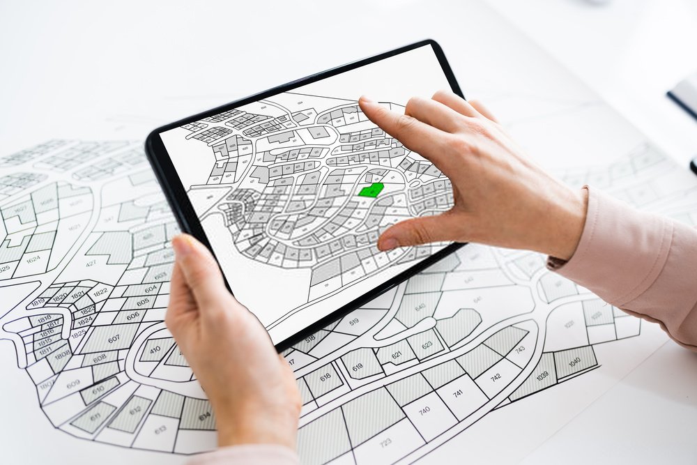
Land management information system

Shared mapping, tools for knowledge, governance and community autonomy, accompanies land securing and conflict prevention.

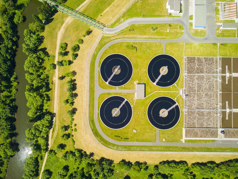
Water management, Sanitation and Hygiene

Georeferenced data for the establishment, management & maintenance of drinking water distribution & treatment networks

Environmental Monitoring

Improve the inventory, management and forecasting of natural, agricultural and environmental resources, by making available to managers and decision-makers

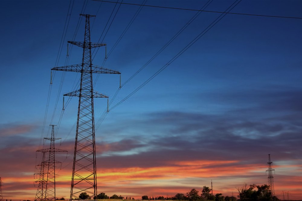
Energy & Telecom

Data from energy thematics (electricity, oil, gas) and telecom (5G / 4G / 3G coverage, very high-speed THD fiber optic) are subjects where geographic information plays a strategic role.

School mapping

A school map allows decision-makers to have a clearer vision of human resources, infrastructures and landmarks in order to be able to make the decisions necessary for its development.

Health map

The management of public health is based on the collection of reliable data in the field, their integration within Information Systems in order to improve the reporting of health master plans. The addition of the spatial component makes it possible to better visualize and analyze the indicators

How we work

Cloud First knows how to deliver mission-critical, core business solutions in the cloud. After assessing your goals, we’ll work with you to define the right cloud solution for your business needs and get to value faster.

An unmatched ecosystem of partners

We are the leading partner for AWS, Azure and Google and the #1 co-innovator with SAP and Oracle. Our relationships can help you field any challenge.

Proven, industry-tailored cloud solutions

We work with you, drawing on the experience of 34,000+ cloud projects in nearly every industry, to build predictable, fast and secure cloud solutions.

Unparalleled talent and experience

Our cloud professionals wield more than 68,000+ certifications, combining vast industry experience with specialized, state-of-the art skillsets.

Case studies

Our Related Capabilities